
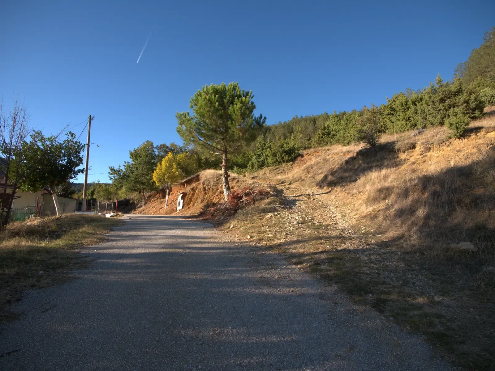
Start · km 0.0 · 1187 m
Start and finish
The loop starts and ends here. Set off north-west, out of the village.
1 / 8
Village walks · Easy
OpenLast checked:
You don’t have to go far for a small adventure. Slip out past the last houses, follow the lanes and tracks up the slope, and within the hour you’re standing at the little chapel of Agios Athanasios, the highest point of Kokkinopilos. From there it’s downhill all the way back.
Measured from the GPS recording. Walking time is time spent moving; allow extra for stops.
Start · km 0.0 · 1187 m
Start and finish
The loop starts and ends here. Set off north-west, out of the village.
Select for details
Junction · km 0.2 · 1182 m
Junction 1
Keep right, heading north.
Select for details
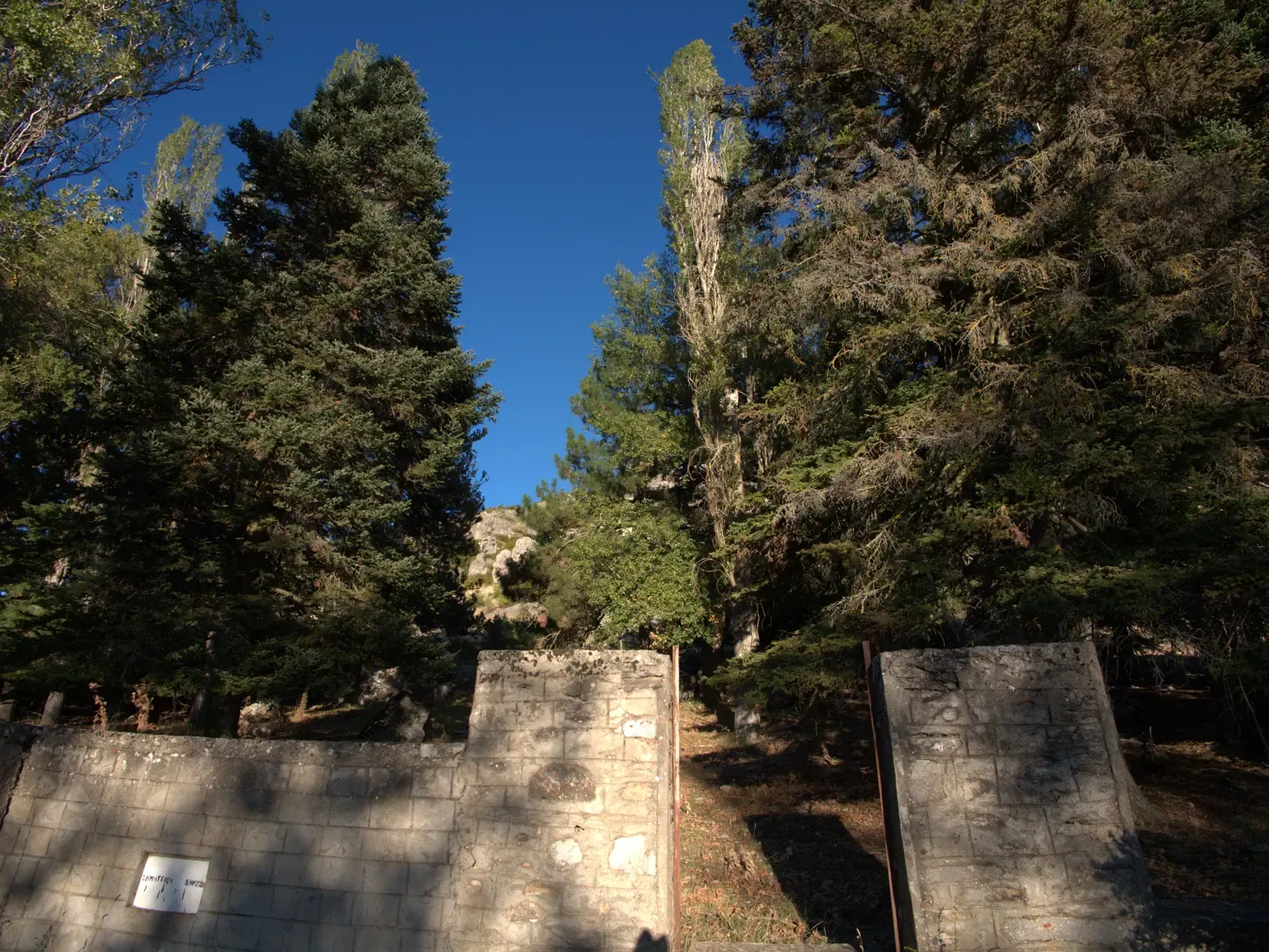
Point of interest · km 0.4 · 1194 m
Perivoli
The village memorial to those who fell in the Second World War, in a grove of tall firs and pines.
3 turns close together here – see the steps
Select for details
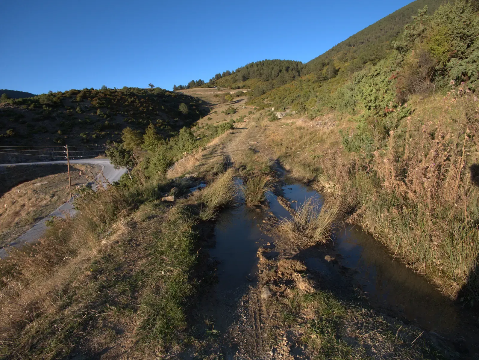
Wet ground · km 0.8 · 1197 m
Wet tracks
Water gathers in the car tracks here and the ground stays wet. Frogs like it.
Select for details
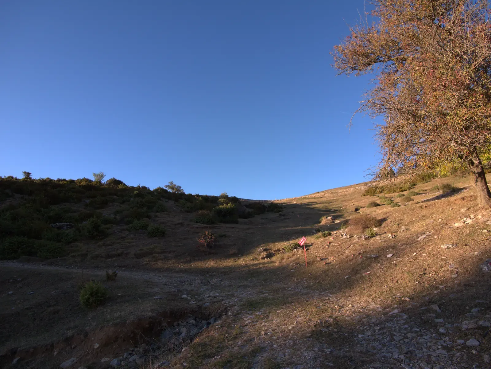
Junction · km 1.0 · 1216 m
Junction 2
Turn left, heading west.
Select for details
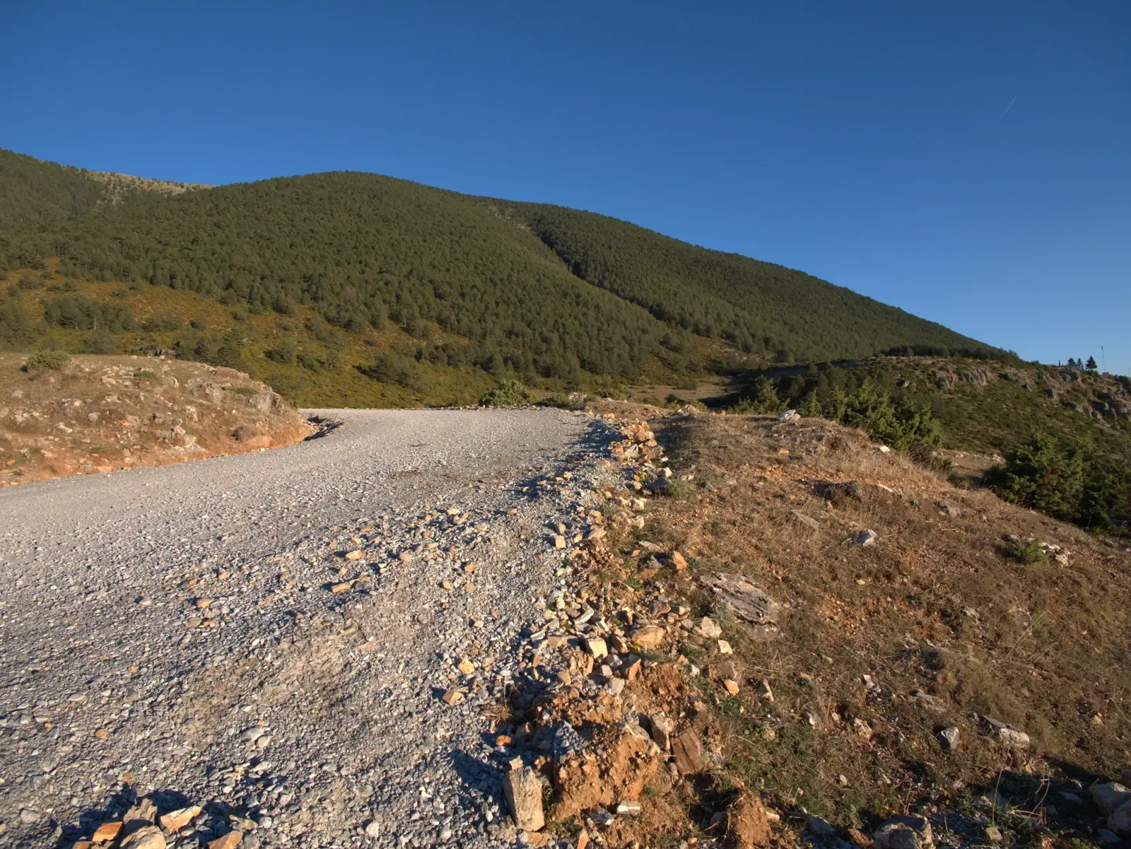
Junction · km 1.2 · 1235 m
Junction 3
Turn right, heading east. This is the northern end of the loop; from here it bends back south towards the chapel.
Select for details
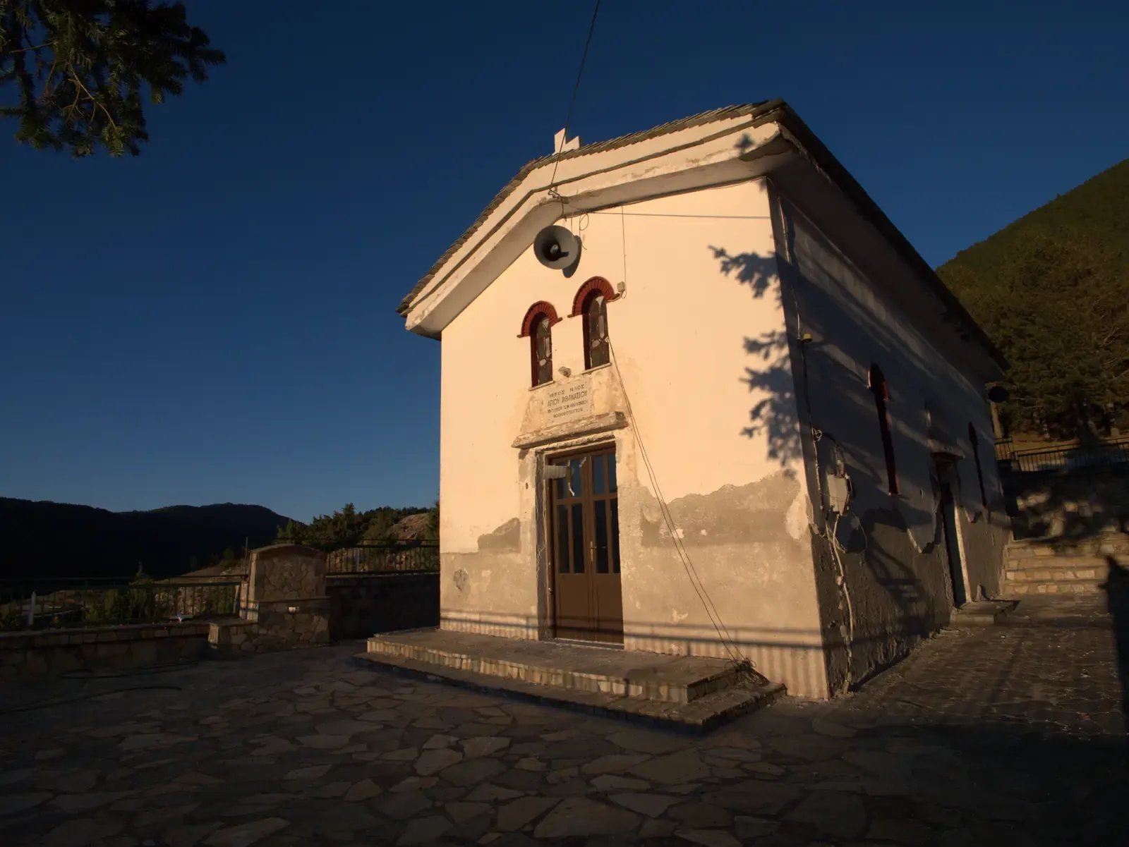
Point of interest · km 2.1 · 1269 m
Chapel of Agios Athanasios
The small chapel at the highest point of the village.
Select for details
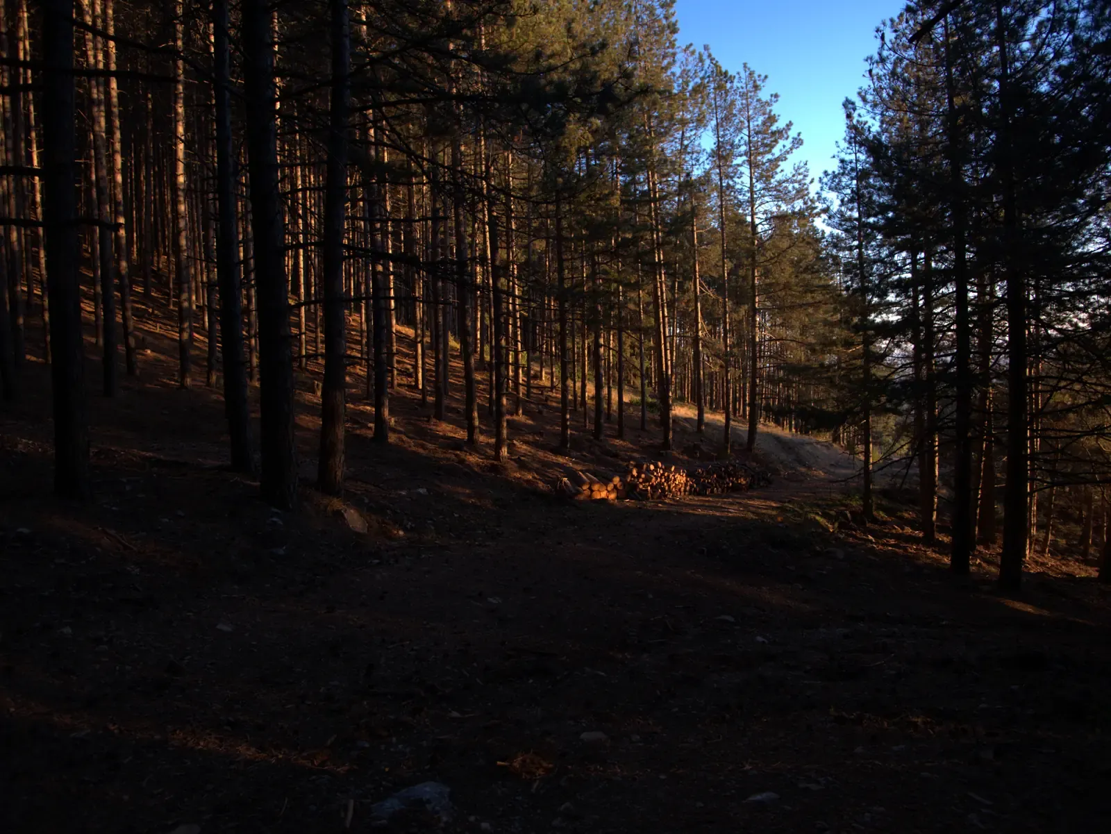
Junction · km 2.3 · 1240 m
Junction 4
Turn right, heading south-west, back down into the village.
Select for details
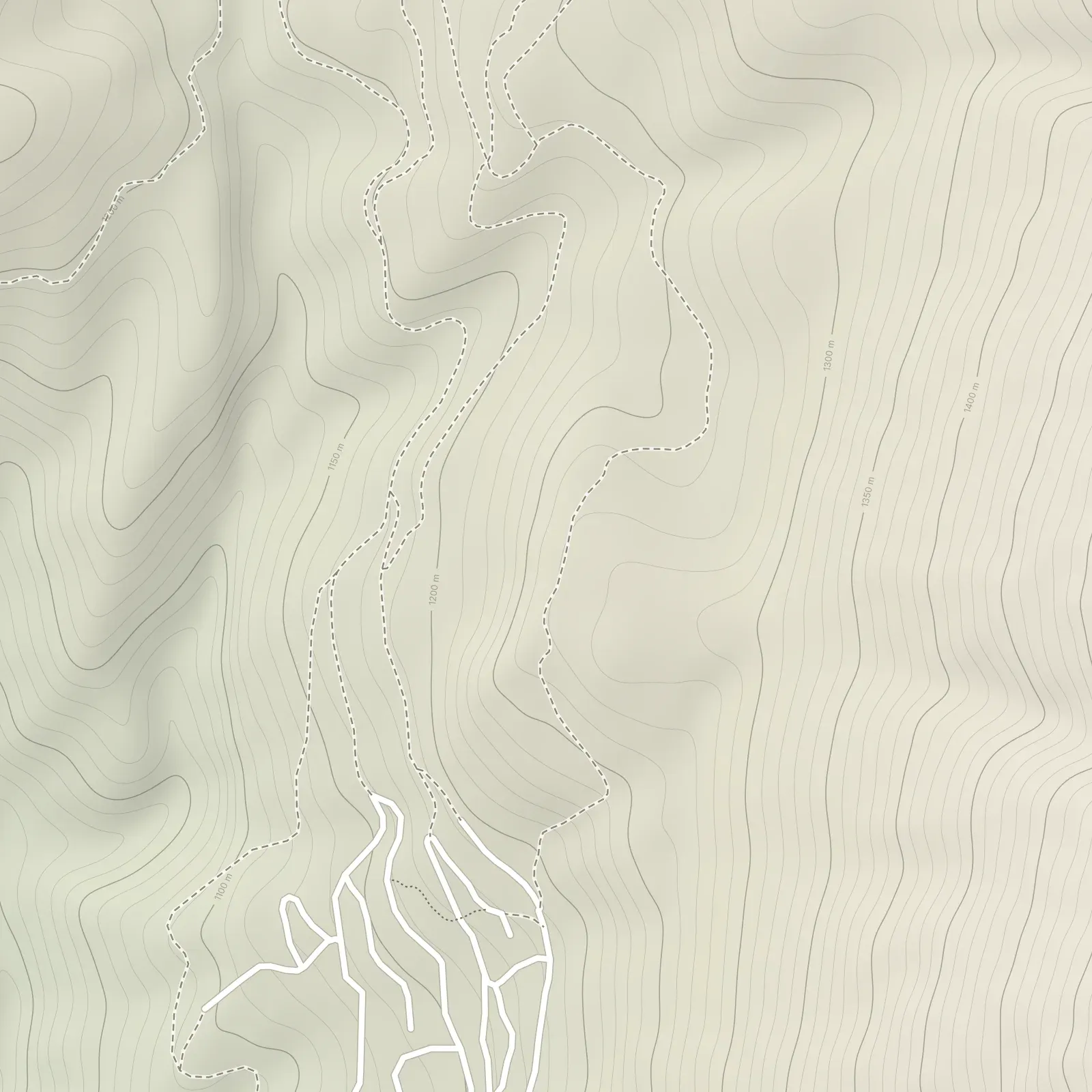
Drag to move the map · Ctrl + scroll to zoom
Point at a marker, or tap it, to see what is there. Select it to open the details next to the map.
Elevation: produced using Copernicus WorldDEM-30 © DLR e.V. 2010-2014 and © Airbus Defence and Space GmbH 2014-2018 provided under COPERNICUS by the European Union and ESA; all rights reserved. The organisations in charge of the Copernicus programme by law or by delegation do not incur any liability for any use of the Copernicus WorldDEM-30. Map data © OpenStreetMap contributors (ODbL).
Every point on the map, in walking order.
Start · km 0.0 · 1187 m
The loop starts and ends here. Set off north-west, out of the village.
Junction · km 0.2 · 1182 m
Keep right, heading north.
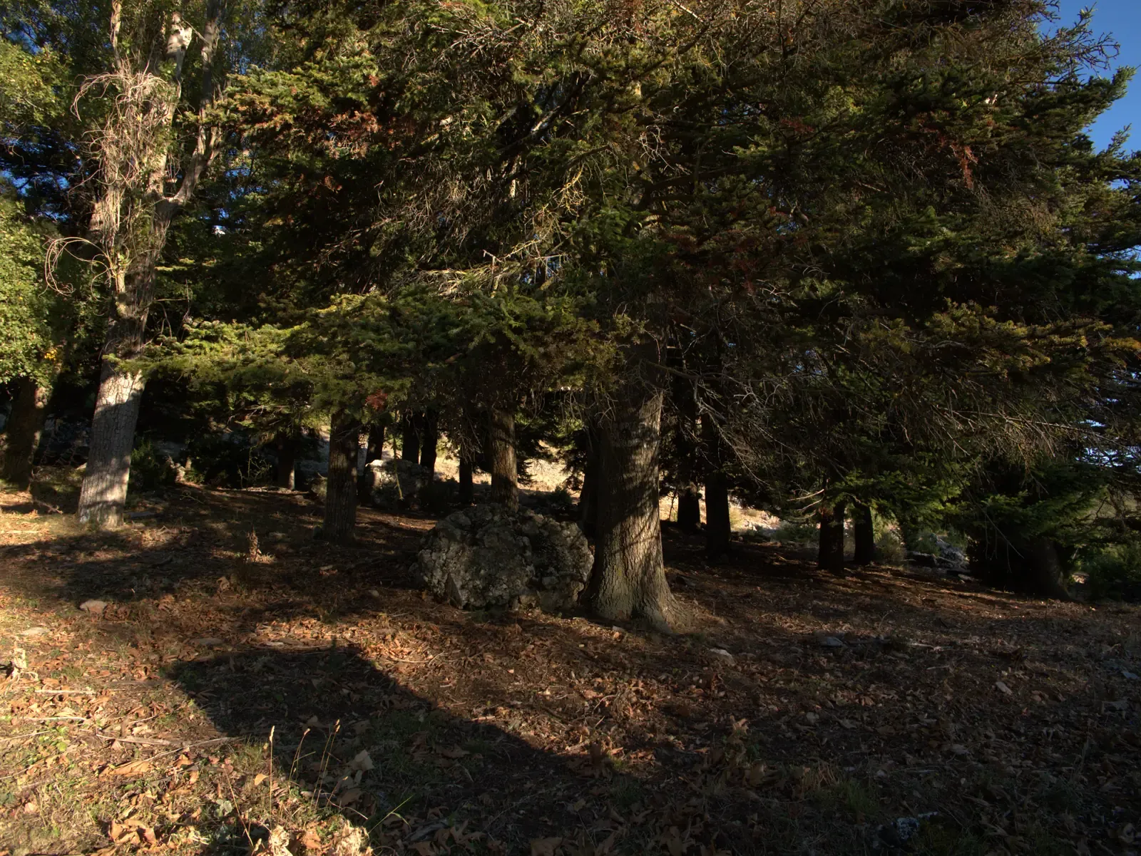
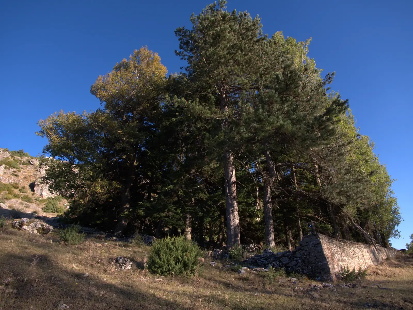
Point of interest · km 0.4 · 1194 m
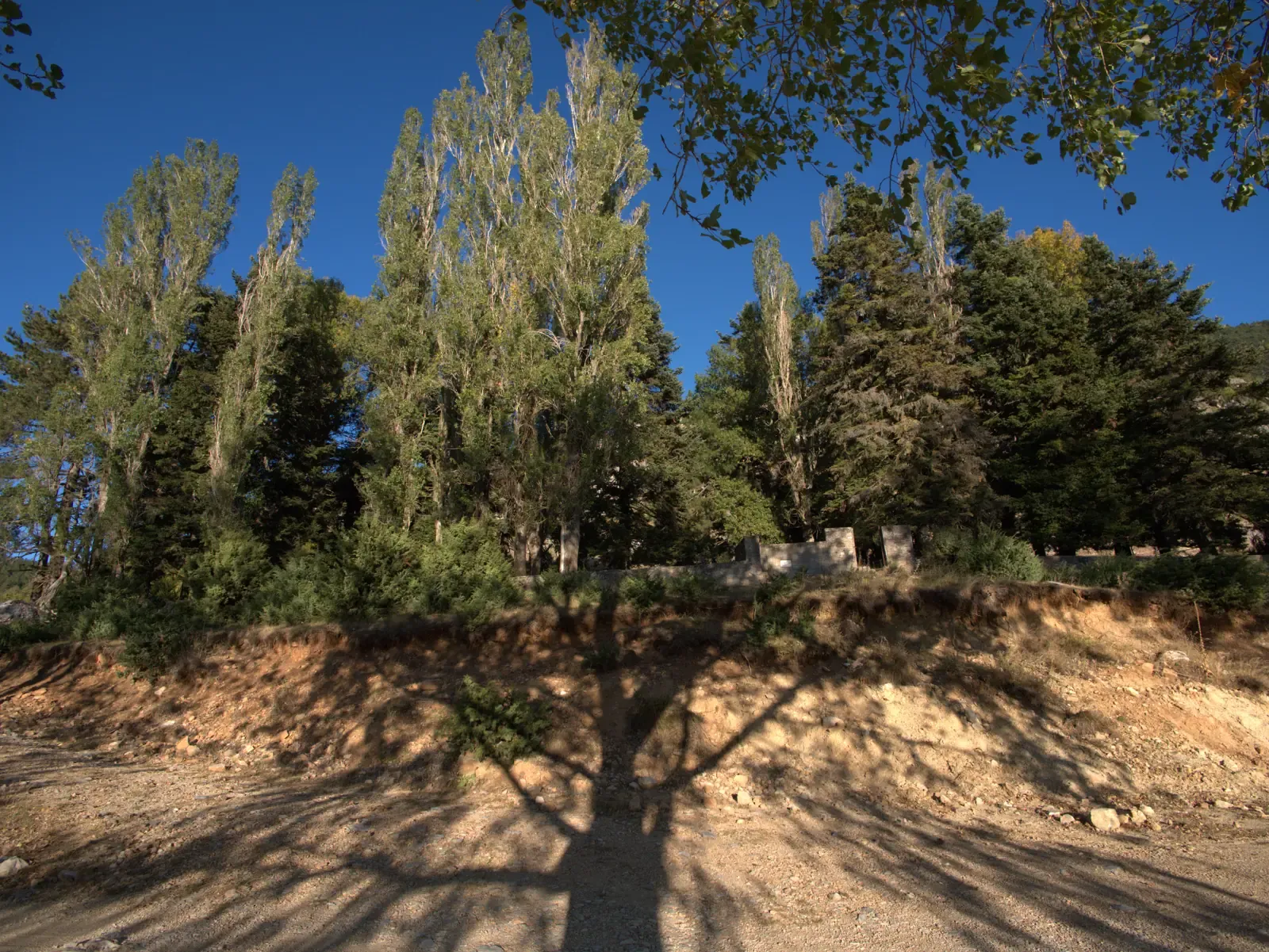
The village memorial to those who fell in the Second World War, in a grove of tall firs and pines.
Perivoli is where Kokkinopilos remembers its dead of the Second World War. The occupation hit the village hard: it was burned twice, in 1943 and in 1944, and many families left it for good.
The memorial stands at the edge of a grove of tall conifers. Here the path turns sharp right into the trees, makes a short loop through the grove and comes back out onto the track – the steps below show the way.
Keep right, heading north, towards the trees of Perivoli.
In the grove, keep left on the dirt road.
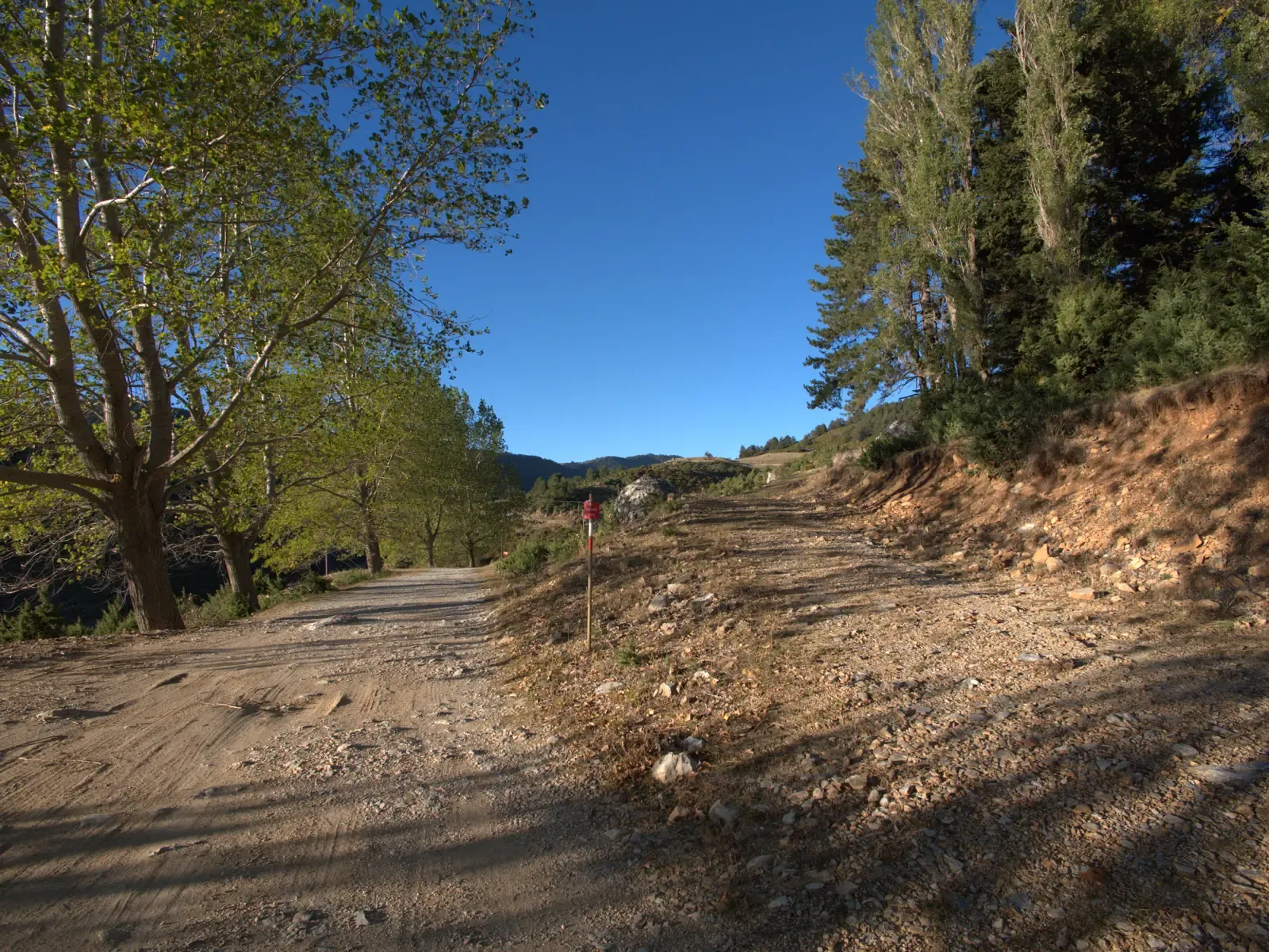
Back on the track, bear right, heading north-east.
Wet ground · km 0.8 · 1197 m
Water gathers in the car tracks here and the ground stays wet. Frogs like it.
Junction · km 1.0 · 1216 m
Turn left, heading west.
Junction · km 1.2 · 1235 m
Turn right, heading east. This is the northern end of the loop; from here it bends back south towards the chapel.
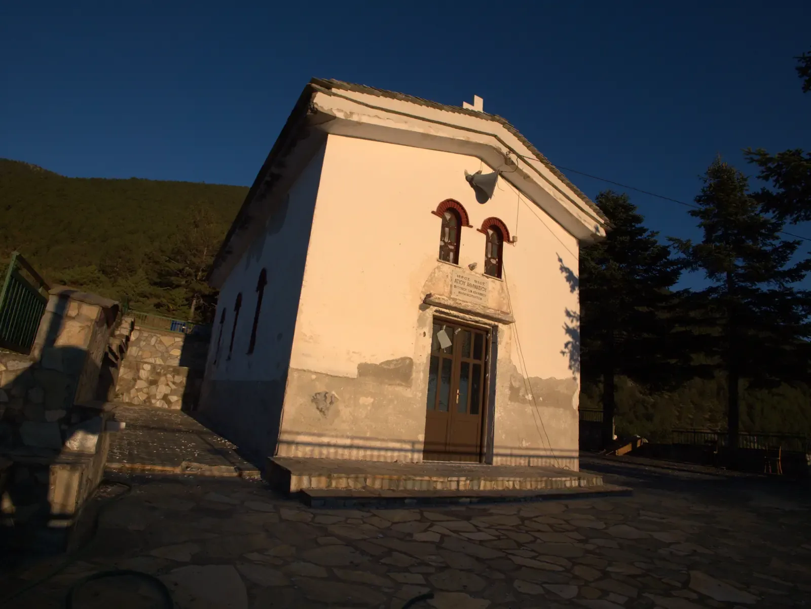
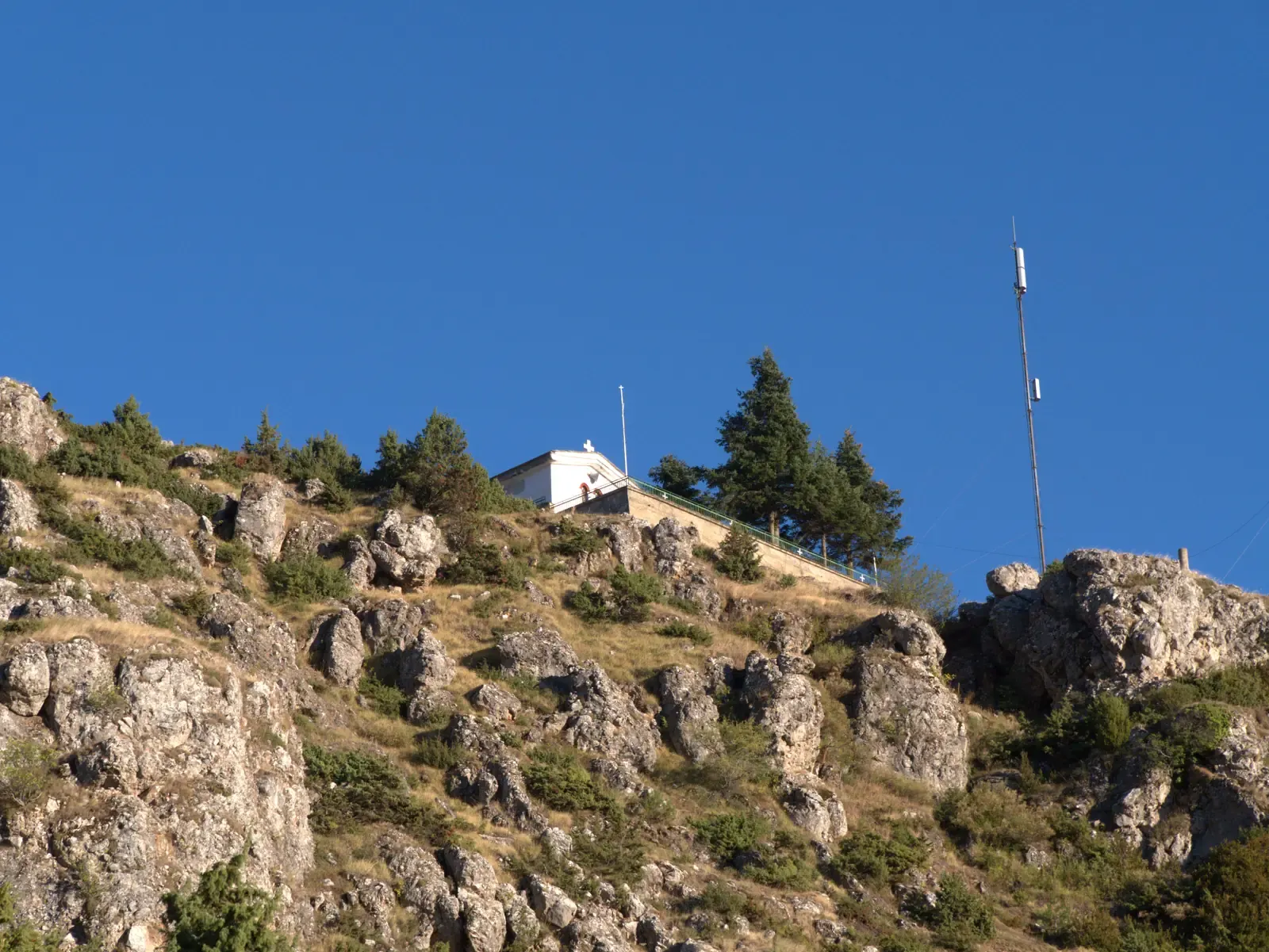
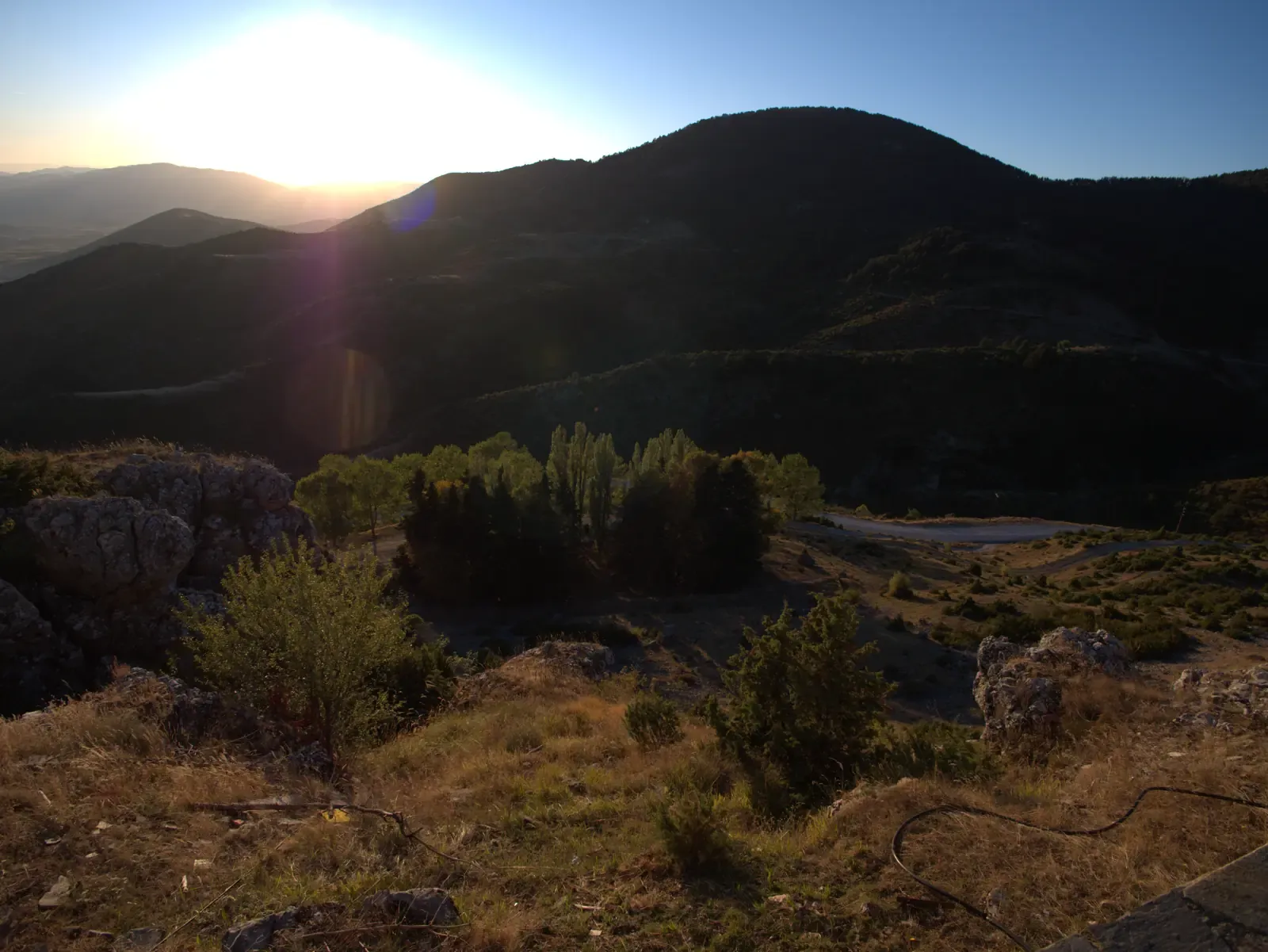
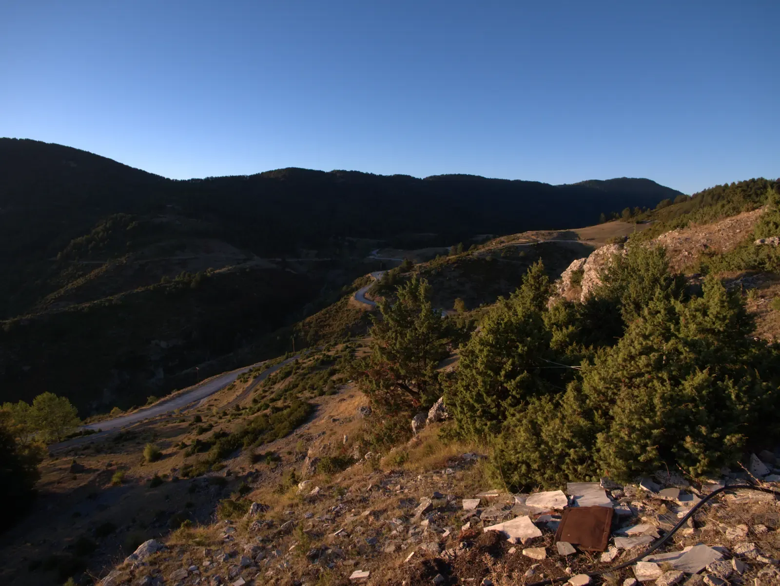
Point of interest · km 2.1 · 1269 m
The small chapel at the highest point of the village.
The chapel of Agios Athanasios (Saint Athanasius) stands at the highest point of Kokkinopilos and of this walk. The marble plaque above the door names the saint “protector of the Kokkinoplites everywhere”, and he also gives his name to the village association, “O Agios Athanasios”.
This is the turning point of the loop: from here the way only goes down. Continue south from the chapel, back towards the village.
Junction · km 2.3 · 1240 m
Turn right, heading south-west, back down into the village.
Photos of the way, in walking order. Point at one to see where it was taken.
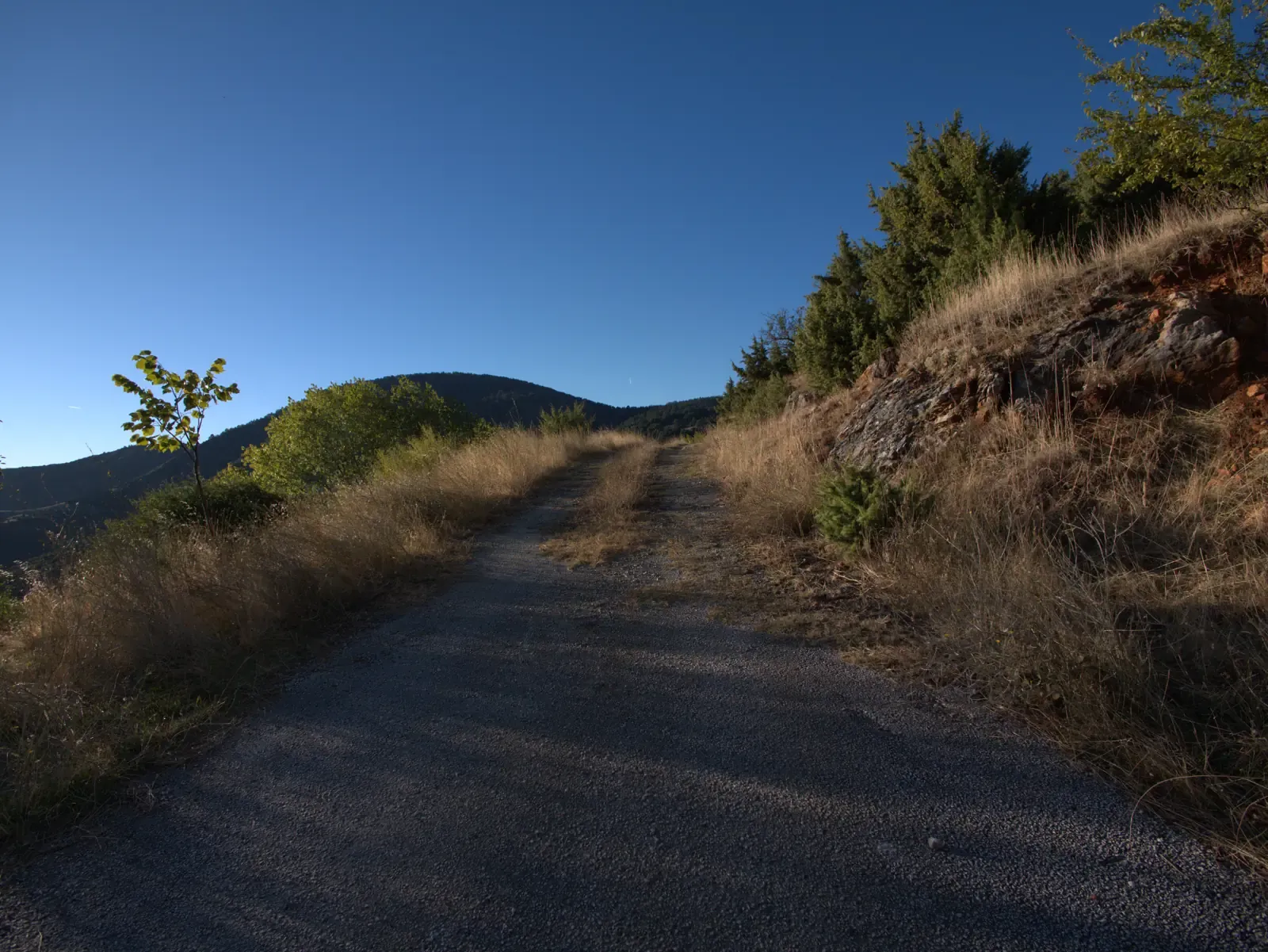
km 0.0The lane leaving the village, heading up the slope.
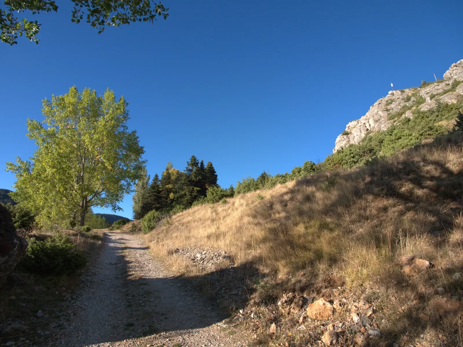
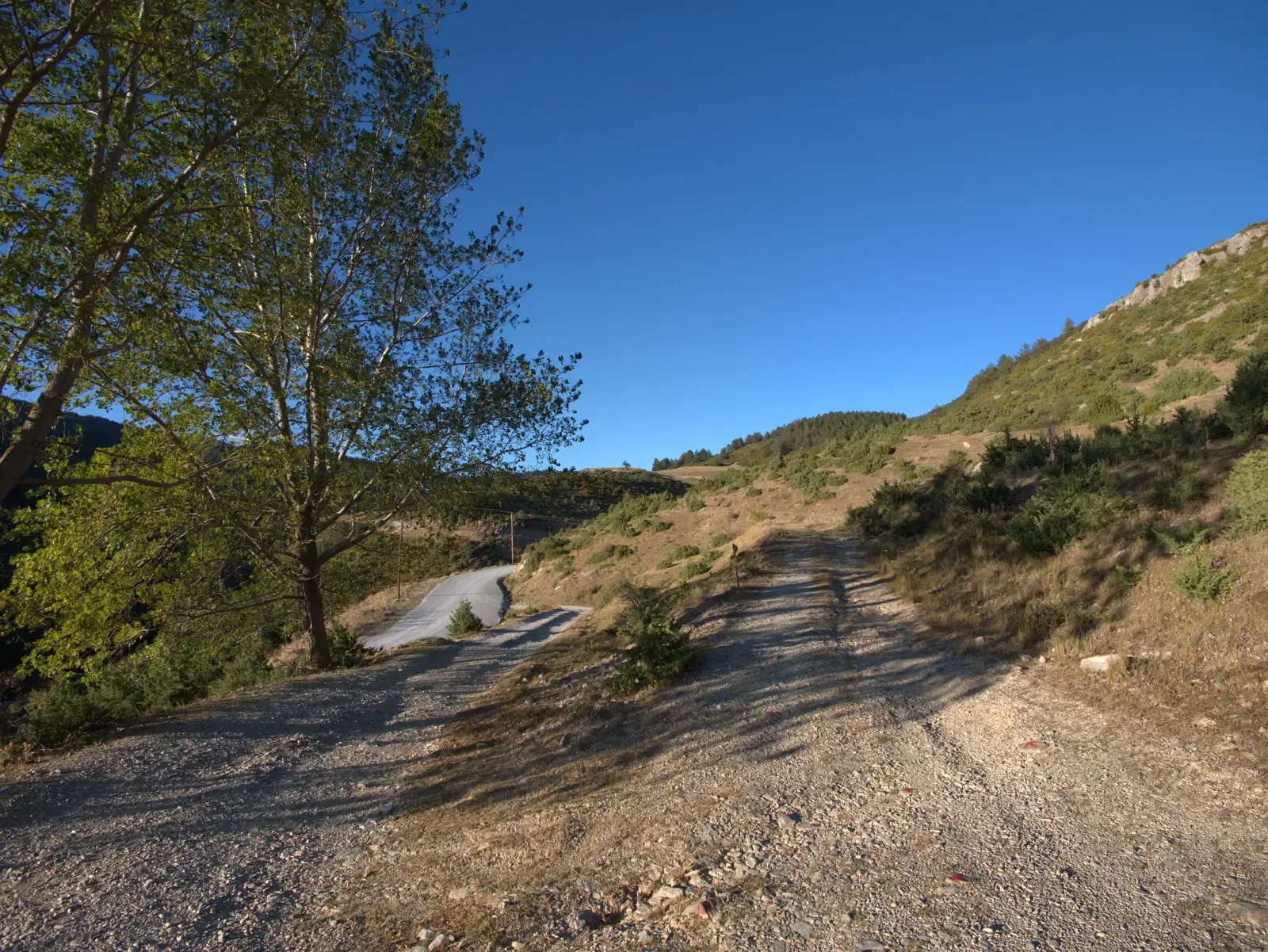
km 0.2The track climbing through dry grass below the rocky ridge.
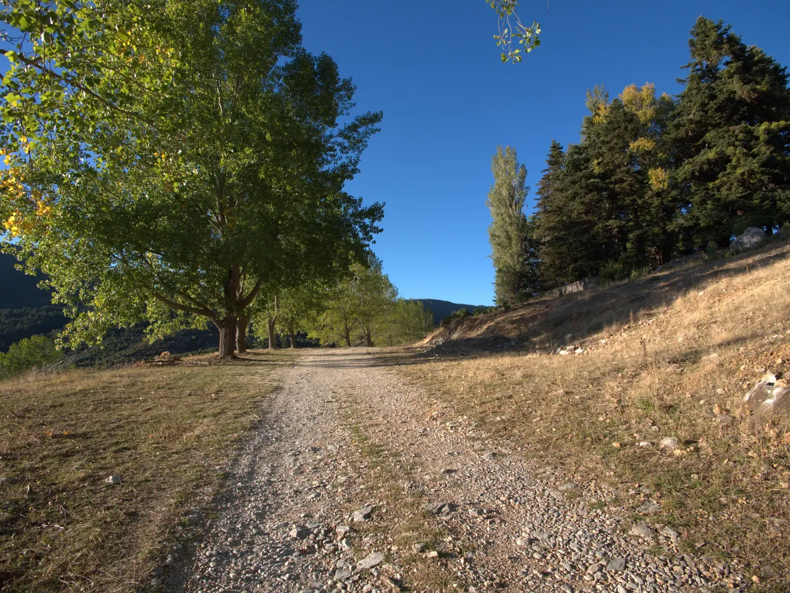
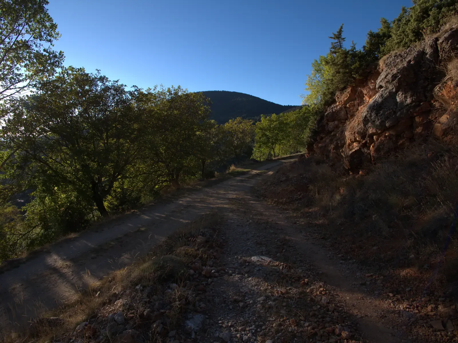
km 0.2The gravel track lined with trees after the first junction.
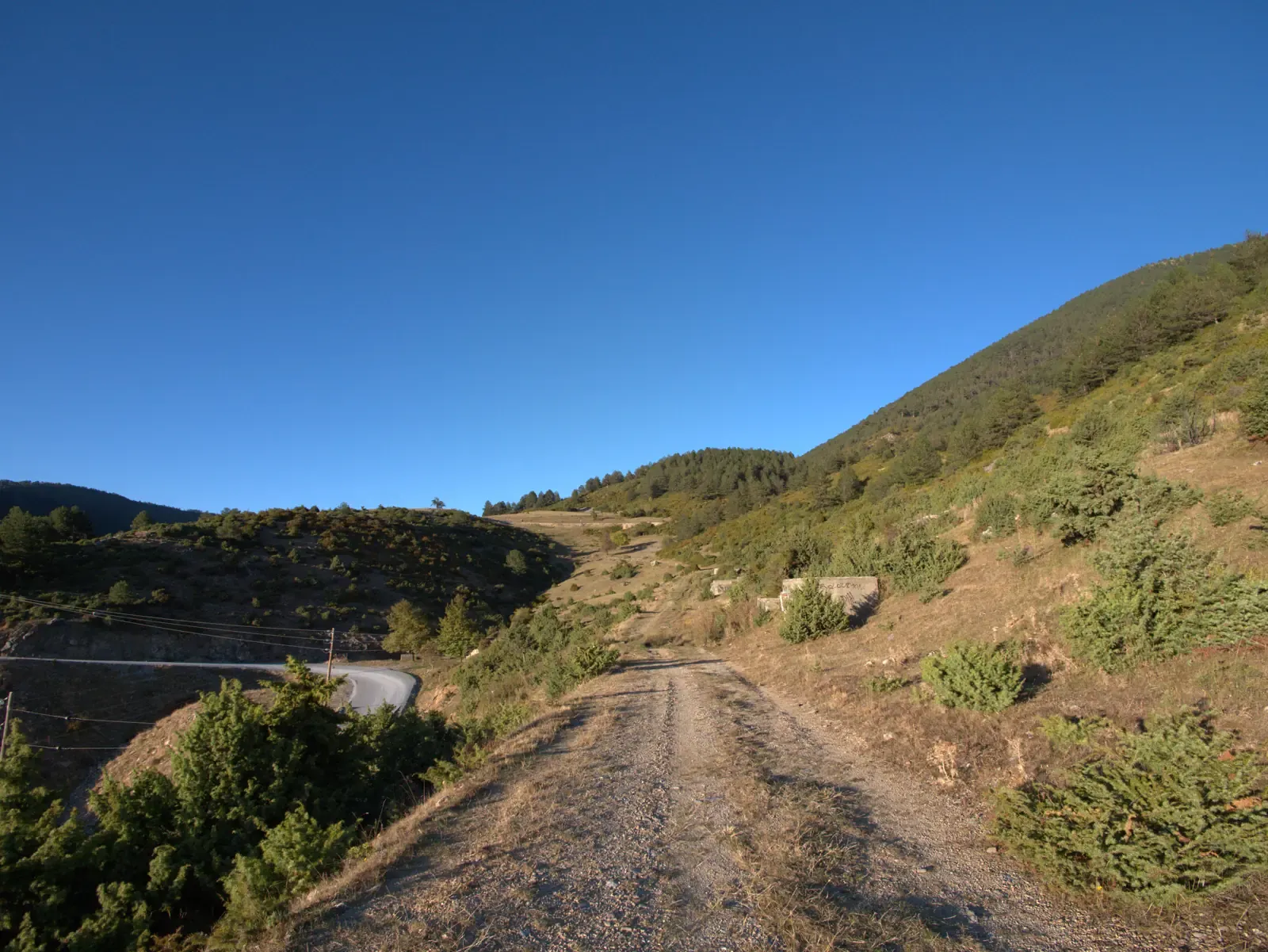
km 0.7The track heading north, with the paved road below on the left.
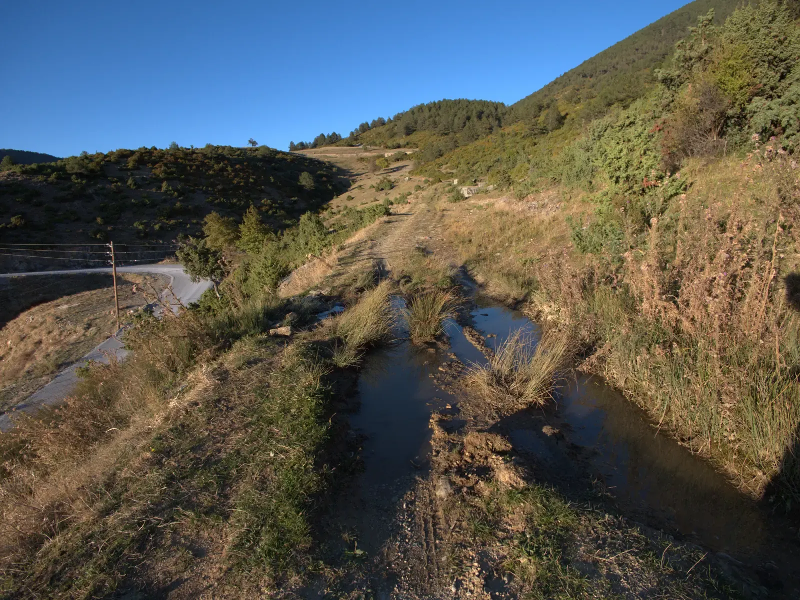
km 0.7Water gathered in the car tracks, with wet ground on both sides.
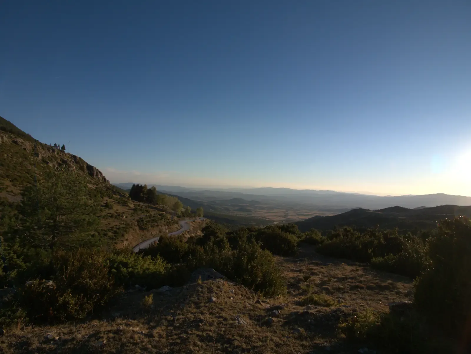
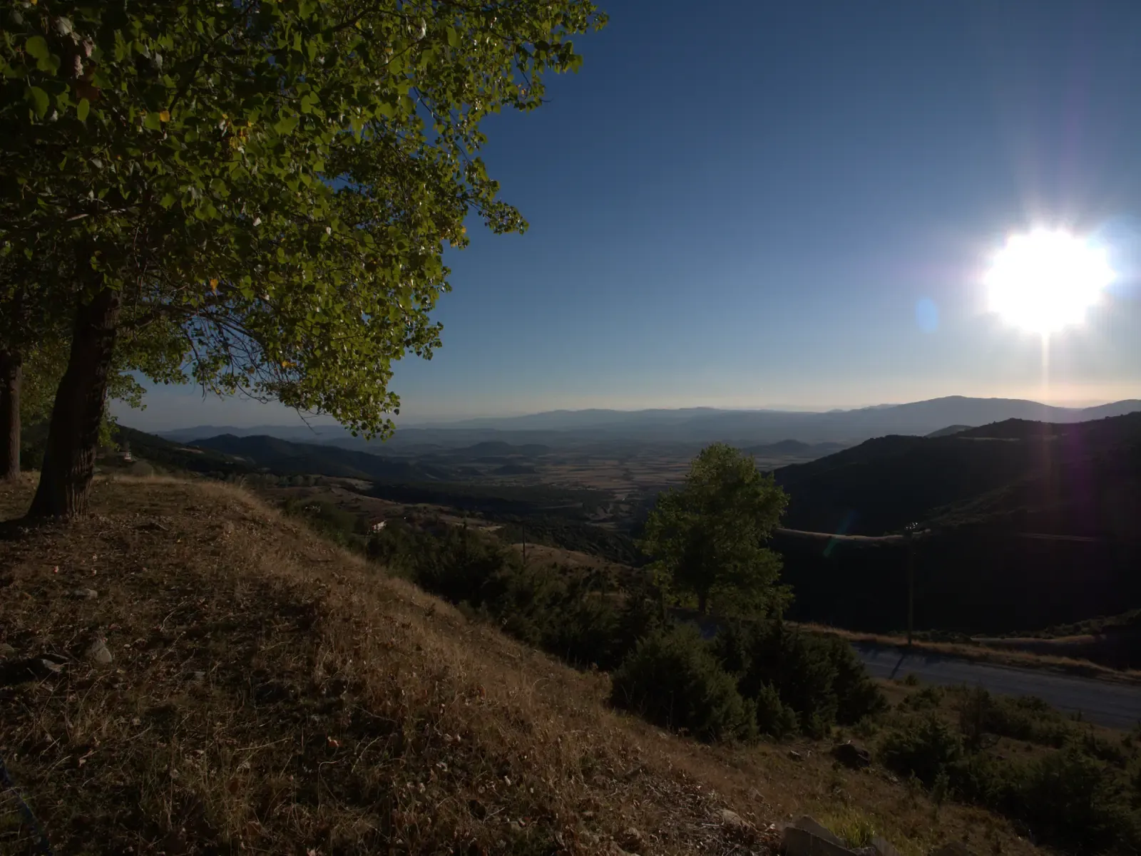
km 1.1The view west over the valley from the northern part of the loop.
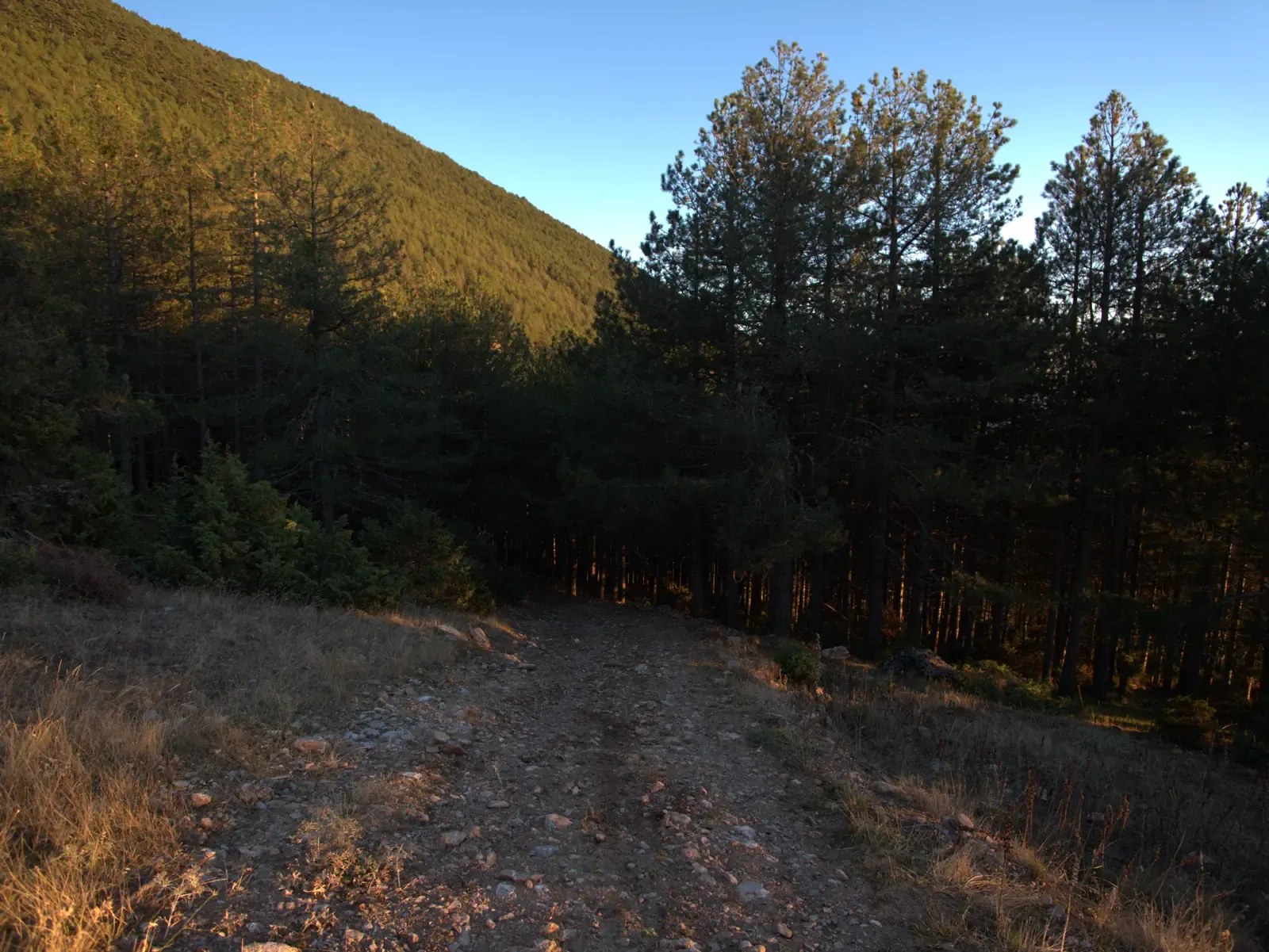
km 2.1Where the track enters the pine wood.
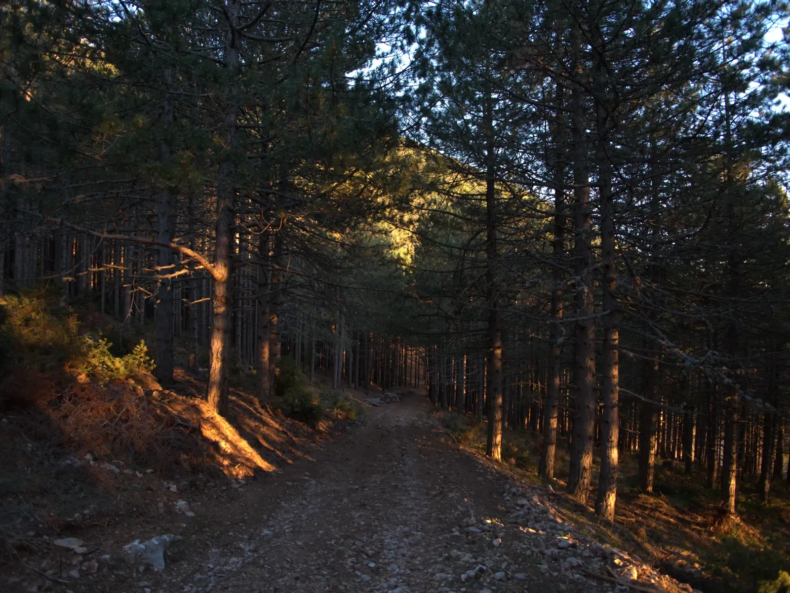
km 2.1The track through the pine wood.
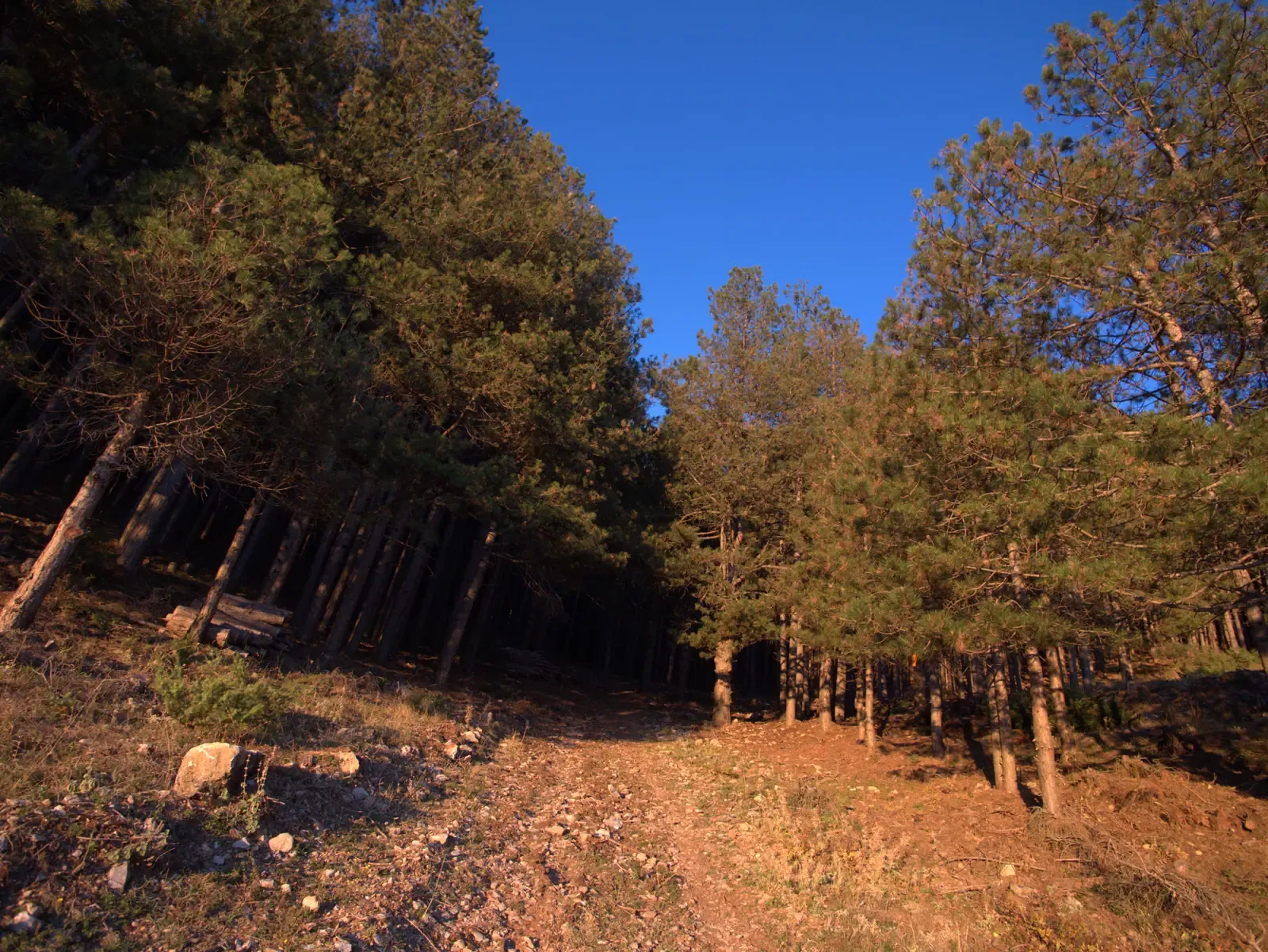
km 2.3Looking back at the pine wood after leaving it.
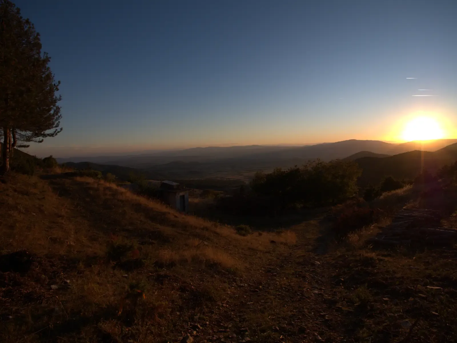
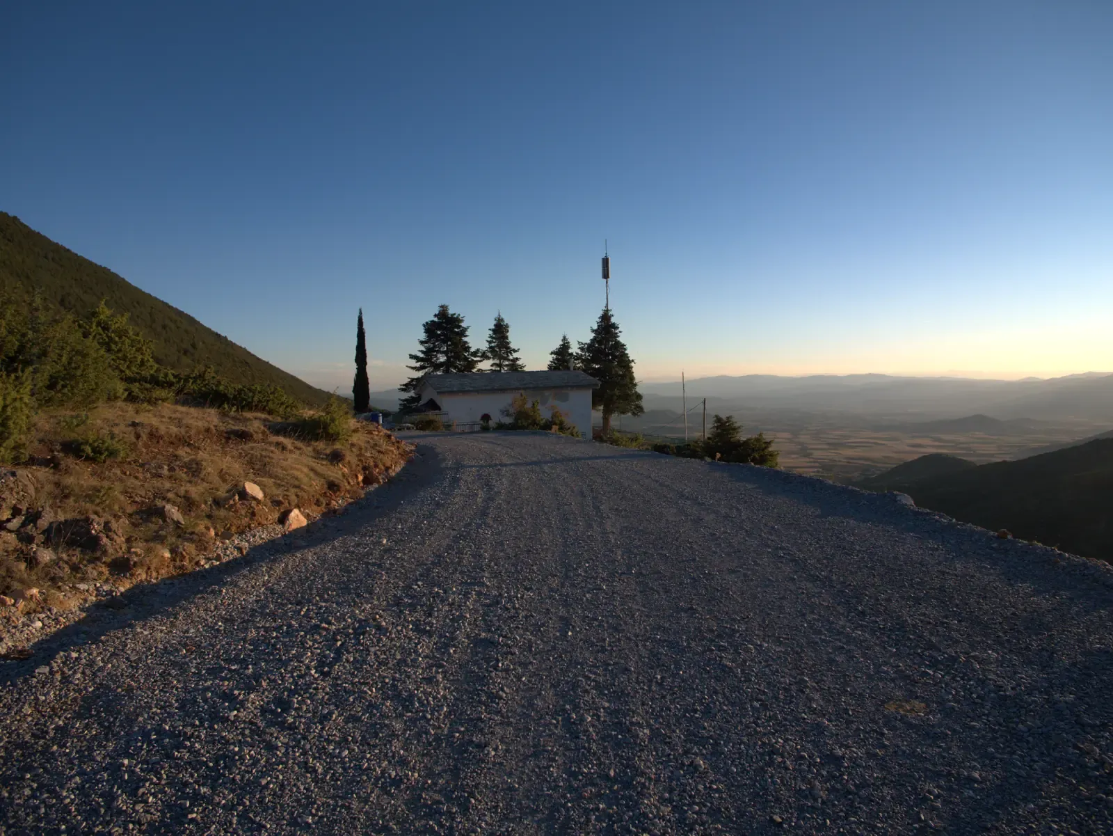
km 2.3Leaving the wood: the path heads down towards the village, with the plain beyond.
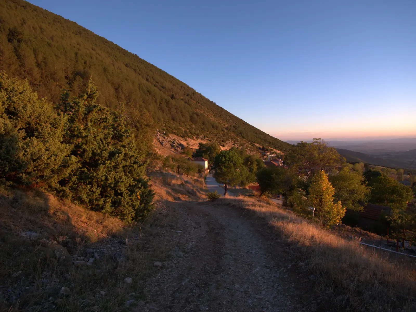
km 2.4The last stretch back down to the start.
The walk starts and ends in the village. From the start it heads north, out of the houses. After about 500 m it reaches Perivoli, the village memorial to those who fell in the Second World War.
Beyond Perivoli the route climbs gently northwards on lanes and tracks. At its northern end it turns east and then south, rising to the chapel of Agios Athanasios, the highest point of the walk and of the village. From the chapel the way leads back down into the village to the start.
The junctions are marked on the map with numbered diamonds: point at one, or tap it, to see which way to go. Most junctions also have a photo. Around Perivoli several turns come close together, so they are shown as one point with the steps listed in its details.
The loop is short and the climb is gentle, so it suits anyone used to walking. Parts of it are on unpaved tracks, so wear sturdy shoes and take water.
Printed from the Kokkinopilos mountain site. Check the page online for the latest conditions.
Village walks are easy, but lanes and paths change. Keep to the route, respect private land and take water.